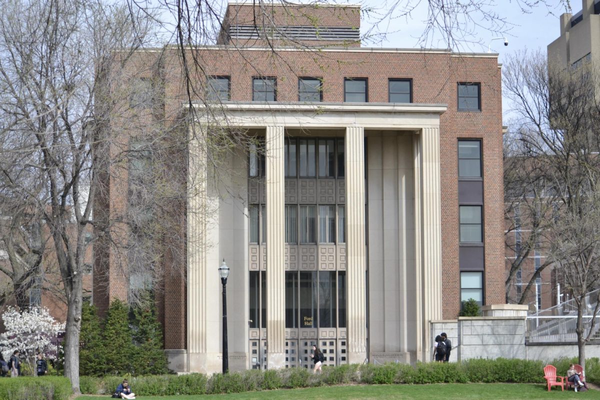
The University of Minnesota’s Polar Geospatial Center recently set out to create a complete topographical map of the entire arctic, including Alaska.
The project is part of a national initiative announced in a recent speech President Barack Obama gave in Alaska. It will be the first publicly available map to cover the entire arctic region, and researchers plan to use the maps to better understand climate change in the area.
The PGC, located on the St. Paul campus, is a research organization housed in the College of Science and Engineering’s Department of Earth Sciences that collects images to create polar maps of otherwise inaccessible locations around the world.
The project, called ArcticDEM, will use satellite images and supercomputers to create digital elevation models of the earth above the 60th parallel north.
The PGC is collaborating with researchers from Ohio State University, Cornell University and Google on the three-year project.
The project is among several recent efforts Obama announced in an attempt to fight climate change.
Paul Morin, the center’s director, said the PGC has already been working on the mapping for about a year.
“If you think about where people do mapping,” he said, “they generally do it where they are. There is usually some sort of administrative, economic or practical reason. And the arctic has been left out.”
The PGC has a close relationship with the National Geospatial-Intelligence Agency, which allows them access to huge amounts of imagery, Morin said.
Their goal in this particular project is “dialing down the accuracy and dialing up the volume” of the imagery, he said.
The maps will allow researchers to see precisely how warming in the area is affecting the land in remote areas.
Originally, Morin said, the PGC was providing mapping support for National Science Foundation-funded researchers in isolated areas. But eventually, the government decided to allow the PGC to map the whole arctic.
The NSF awarded the project a $420,000 grant.
Peter West, outreach and education program manager at the NSF, said the initiative is special because the kind of detail it will provide is not currently available, especially for the entire arctic region.
The project will allow researchers to look at environmental phenomena like erosion, retreated glaciers and extended wildfires.
Mike Clementz, a graduate research assistant at the PGC, said he assists in the research by helping make selections in the satellite imagery that will be used for the digital elevation models.
Only a small handful of people are working on the initiative, he said, so all of the research is being done with minimal resources.
“I think it’s really interesting what we’re doing right now because we’re in that unique situation where we have a ton of imagery that we can view, and not many other universities, or even organizations at all, have the ability to do this,” Clementz said.
The map of Alaska will be available in the spring of 2016 and the entire arctic by 2017, Morin said.


